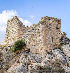
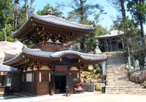
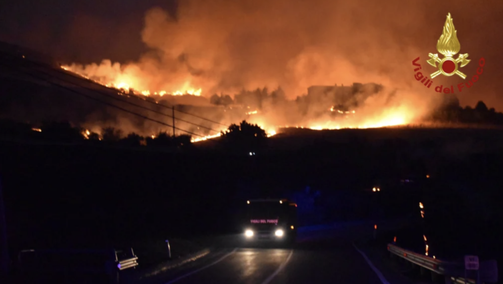
Wildland Fire Risk and Historical Towns
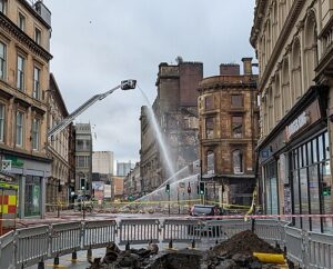
The wildfires that destroyed significant historical buildings of Los Angeles in early 2025 are just one example of fire risks that threatens heritage towns. From the “Absolute Chaos” of the fires that forced authorities to evacuate villages in Portugal in September 2024 to the direct threat to the outskirts of Athens a month earlier, the problem of the wildland-urban interface (WUI) fires – vegetation fires that can reach built-up areas – requires an engineering approach, especially in risk assessment and selection of safety measures.
To get an idea of the state of research on fire spread models, i.e. the main tool supporting risk assessments, the paper “Modelling of wildland-urban interface fire spread with the heterogeneous cellular automata model” authored by Wenyu Jiang and others can be useful.
The paper presents a simulation model for wildland-urban interface fire propagation, using a heterogeneous cellular automata approach. The model integrates wildland and residential fire models, aiming to support emergency decisions in complex scenarios.
The background of the study is based on a known fact: wildfires in WUI areas are increasing in frequency and intensity. These fires can cause significant damage to infrastructure, human lives and the environment. In this area, existing models often focus on single scenarios (wildfires or residential fires) and struggle to balance accuracy and computational speed, making them unsuitable for large-scale simulations. On the contrary, integrating wildfire and residential fire models into a single system, although challenging due to the different fire propagation logics, is a primary need.
Starting from these assumptions, the main objective of the research was to develop a model capable of simulating wildfires in WUI areas with low computing power, providing decision support to emergency management departments.
Fire Spread Models
Fire spread can be modeled using different approaches and therefore different implementation solutions of the calculation models. Each of them has peculiar aspects that should be known before being used in the assessment.
Wildfire Models:
- Traditional models include empirical, probabilistic and physical models. Empirical models are based on environmental parameters, but have limited validity for specific scenarios, while probabilistic models use statistical methods, but do not adapt well to environmental changes. Physical models are based on thermodynamic analysis, which allows a better accuracy but they require high computational power.
- Cellular automata models (analysed in the paper) are promising due to their simplicity and low computational complexity. In particular, the proposed model uses a heterogeneous cellular automata approach in which the fire spread rate is calculated based on vegetation, terrain and meteorological factors. In such model the state of cells in the forest zone is defined in five stages: unburned (SF0), beginning of burning (SF1), full development (SF2), extinguished (SF3) and extinguished (SF4). The transition between these states is regulated by specific laws.
Fire models in urban areas:
- Urban fire models are more complex than forest fire models.
- Early models were based on empirical variables such as wind speed and direction, distance between houses and type of construction.
- Physical models were developed by analyzing energy and heat transfer.
- Cellular automata models were adapted for low-rise houses with wooden frames.
- The proposed model considers six fire states of a house (SU0-SU5). The fire spread is influenced by the wind direction and speed. The ignition probability of an unburned house is influenced by the construction material, weather conditions and the state of the burning house. The transition time between fire states varies depending on the type of material.
WUI Area Spread Model:
- These models combine and optimize forest and urban fire spread models.
- Spread from forest to dwellings considers the amount of heat needed for the ignition of materials, which is in the range of 23 – 27 kW/m2.
- Spread from dwellings to forest is based on thermal physics principles. The heat released by a burning house can quickly ignite the surrounding vegetation.
- Spread from forest to dwellings uses a probabilistic model, where the probability of ignition of adjacent houses depends on the heat release rate of the forest fire and the type of fire (surface or crown).
- The maximum ignition distances for surface fires are 36 meters and for crown fires 54 meters.
- Fire-resistant elements, such as roads, rivers or non-flammable areas, are considered in the model to hinder the spread of fire.
Experiments and Results
The model considered in the study was validated by simulating the Getty fire in California. The results obtained were compared with those of the FlamMap6 wildfire simulation software.
Input data included vegetation type, terrain, meteorological data and data related to houses. The data were obtained from LANDFIRE, WindNinja, Mesowest and OpenStreetMap.
According the report, the simulation results with the proposed model matched the observed data in terms of burned area and number of houses burned, showing to be able to simulate fire spread in both forested and urban areas, including the transition from one to the other.
Applicability to fire risk assessment of historic built environment
The paper does not directly address the applicability of the models to specific historical settlements, but focuses on simulating wildland-urban interface (WUI) fires, including both forested areas and urban areas with various types of houses. However, we can make some considerations based on the information provided.
- Urban area models: The paper describes fire propagation models in urban areas that include both empirical models (based on observations and statistics) and physical models (based on thermodynamic and combustion laws). The empirical models were initially developed for low-rise timber-framed houses, while the physical models are more general and potentially applicable to other types of buildings. Cellular automata models have been adapted to low-rise timber-framed houses.
- Complexity of historical areas: Historical settlements often present greater complexity in terms of construction materials (stone, wood, brick), building typology, population density and urban layout. Therefore, the direct applicability of the proposed models, which are based on a simplification of urban structures, may be limited.
- Proposed model: The model presented in the paper aims to simulate fires in WUI areas, integrating forest and urban fire models. The model for urban areas considers different fire states of a house, influenced by the building material and weather conditions.
- Need for adaptation: To apply these models to historical contexts, it would be necessary to adapt the model parameters to take into account the specificities of the building materials and layout of buildings typical of such contexts. For example, it would be necessary to define combustion parameters and ignition probabilities for stone, old wood, bricks or other building materials specific to historical settlements.
- Specific data: The model requires specific data for the simulation, such as vegetation type, terrain, weather conditions and information on houses. For historical settlements, it would be necessary to find or generate detailed data on the characteristics of buildings and materials.
- Validation: Furthermore, it would be necessary to validate the model adapted to historical contexts through simulation of real fires or case studies to verify its accuracy and reliability.
Summarising
In summary, the models presented in the article, in particular the heterogeneous cellular automata model for WUI areas, provide a starting point for simulating fires in historical settlements, but would require specific adaptations and validations to account for their unique characteristics.
The article does not exclude the possibility of adaptation, but highlights the need for further research and refinements to make the models applicable to a variety of different scenarios, including historical urban contexts.